No Products in the Cart

 Everything is Somewhere
Everything is Somewhere
Everything is Somewhere
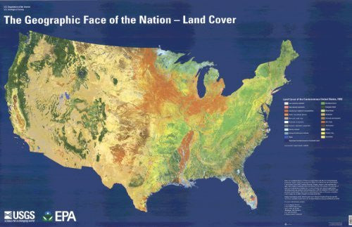
Use this map of land cover of the conterminous USA to teach and learn about the extent and distribution of cropland, scrub, forests, urban areas, grassland, and other land cover types, as well as the relationship of land cover to climate, to population distribution, to latitude, and to elevation.
Paper, one-sided wall map.
Size = 56" x 36"
 As Seen On TV