No Products in the Cart

 Everything is Somewhere
Everything is Somewhere
Everything is Somewhere
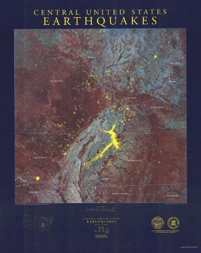
This map displays earthquakes that have occurred in the central United States during the time period 1974-1991. The epicenters are shown on a map base obtained from Landsat satellite imagery of the New Madrid seismic zone and environs. The epicenter symbol sizes are scaled into four magnitude categories: magnitudes 1.5-2.0, magnitudes 2.0-3.0, magnitudes 3.0-4.0, and magnitudes greater than 4.0.
Paper, one-sided wall map.
Scale = 1:1,000,000
Size = 26" x 36"
 As Seen On TV