No Products in the Cart
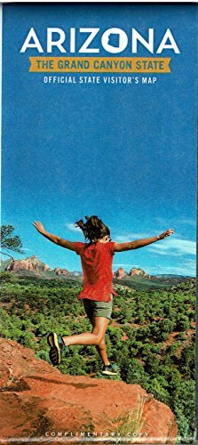
This special laminated edition of Arizona's official tourism map features the State of Arizona map and legend, an index to selected cities and towns, a distances chart, and an outdoor recreation area table on the front side. The reverse side features city inset maps for the greater Phoenix area, Tucson and vicinity, Flagstaff, and Yuma; temperature and rainfall tables for Arizona deserts and mountains; a description of things to do and scenic roads to travel for each region; map coordinates and contact information for national forests, parks, monuments, historic sites. recreation areas, riparian conservation areas, and wildlife refuges; map coordinates and contact information for state parks; and photographs of select tourism opportunities.
There's no place on earth quite like the Grand Canyon State. It's not just their landscapes, which take in tall mountain ranges, swift rivers, grasslands, sand dunes, and cactus forests. It's not just their storied past, which reaches back thousands of years. It's not just their people, a vibrant blend of cultures and traditions. It's all these things, and the way they come together, that make a visit to Arizona a truly unforgettable experience.
Gloss laminated paper, two-sided folded map.
Scale = 1:1,126,400
Size Unfolded: 22" × 33"
Size Folded: 3.75" × 8.25"
 As Seen On TV